

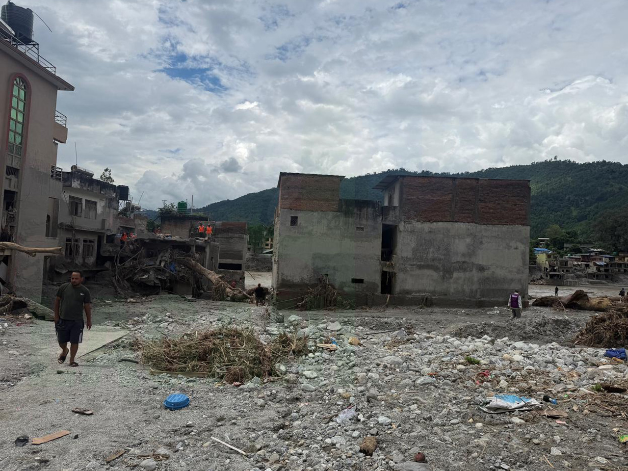
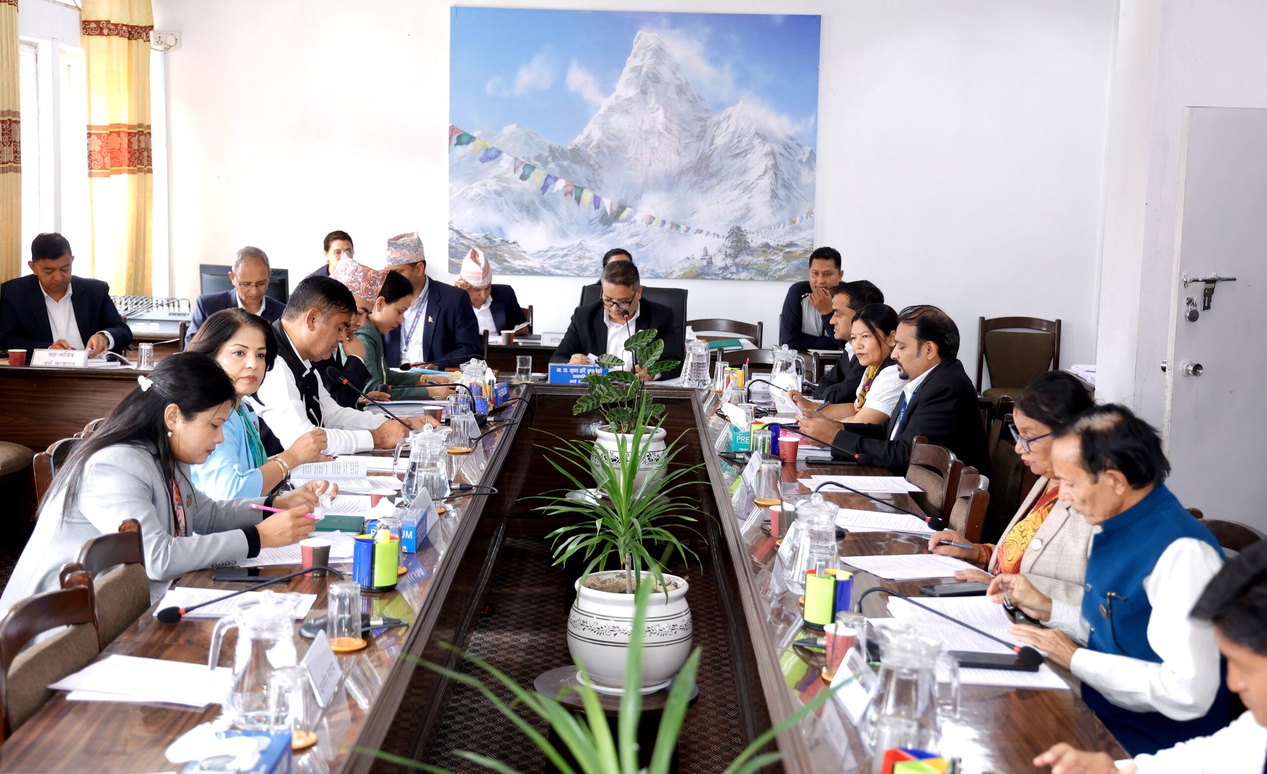
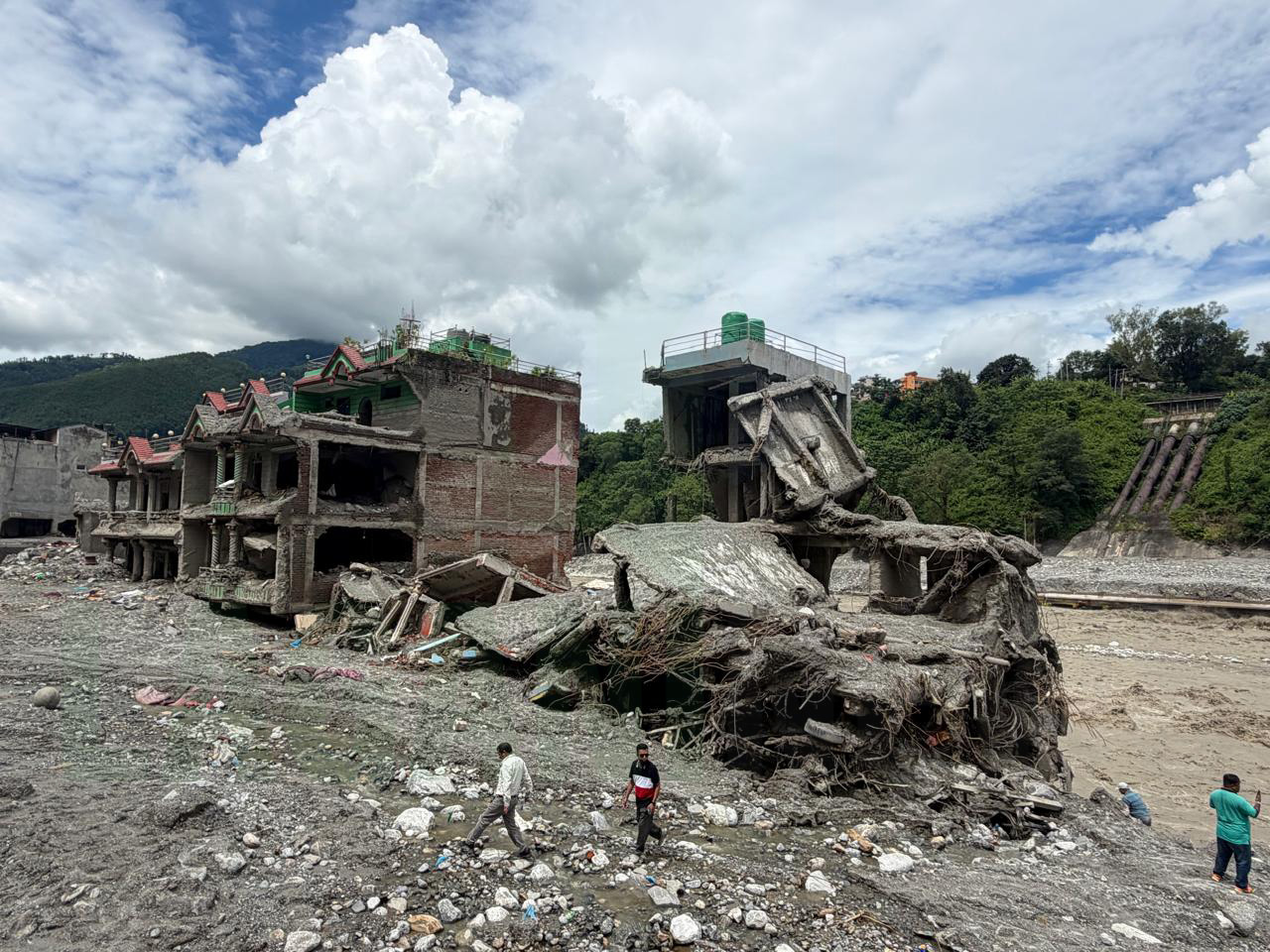
Kathmandu. The government has formed a seven-member expert study committee to find scientific basis and evidence for the devastating floods in the Bhotekoshi River in Rasuwa. The Ministry of Energy, Water Resources and Irrigation on Wednesday formed a committee under the coordination of water policy and good governance expert Devesh Belbase.
According to the ministry’s spokesperson Mohan Kumar Shakya, hydrologist Dr. Narendra Man Shakya, glaciologist Dr. Rijan Bhakta Kayastha, remote sensing expert Dr. Uttam Babu Shrestha, geologist Dr. Meghraj Dhital, hydropower infrastructure expert Dr. Hari Pandit and disaster risk reduction expert Anil Pokhrel are members.
The committee will conduct an on-site study from the possible source of floods to the entire coastal area. According to the ministry, a scientific study will be conducted on the origin of the catastrophic floods, the real causes, developments and possible role of climate change.
Spokesperson Shakya said that the Rasuwa floods should not only be studied as a normal flood or heavy rain but as a possible ‘series of disasters’ that have developed due to the interlinking of various geographical, glacial, hydrological and other risks originating in the high mountainous region.
The Ministry has decided to conduct such a scientific study as per the proposal of the Secretariat of the Water and Energy Commission. Earlier, the Hydrology and Water Resources Research Center under the Secretariat of the Water and Energy Commission had conducted a preliminary study of the incident.
The preliminary study found that there was not enough scientific evidence regarding the origin of the Rasuwa incident, the physical process that triggered the disaster and how it spread to the downstream area through the Bhotekoshi-Lhende river system.
Therefore, the center had suggested that a scientific study of all phenomena is necessary before concluding climate change as the cause of the event.
The ministry has said that the study will be carried out on the geology, temperature, water, glacial sphere and river system as a whole. Spokesperson Shakya said that the study has been initiated as such disasters may have a direct impact on the infrastructure under the Ministry of Energy when such disasters hit other river systems as the Trishuli Corridor was affected by the floods in the Bhotekoshi river.
According to him, the study will also include how to prepare for the long term by learning from the damage caused to the energy infrastructure by the Rasuwa floods and how to maintain the resilience of hydropower that can generate electricity continuously even in times of crisis while dealing with climate change, flood, drought and other natural disasters.
Three-phase study
According to the ministry, the study will be conducted in three phases. In the first phase, the timeline of the incident and the geographical damage will be studied from the high Himalayan region to the Bhotekoshi-Lhende river system and the coastal area. In this phase, the interrelationship between glaciers, rocky and soil slope instability, landslides, mudslides, river flows and floods will be studied. In the second phase, the immediate and underlying physical causes of the incident will be identified.
In the third and critical phase, a scientific assessment will be made to the extent to which anthropogenic climate change has affected the probability, intensity or preparedness of these risks. Earlier, the events of excessive rainfall, floods and landslides in Nepal from September 26 to 28, 2024 were assessed by the World Weather Attribution, an international scientific study group, as the effects related to anthropogenic climate change.
However, the Ministry has come to the conclusion that the Rasuwa-Bhotekoshi incident could be of a different nature and the study should be done on the basis of scientific evidence rather than drawing a direct comparison or predetermined conclusion with it.
The proposed study will involve experts in the fields of glaciology and glaciology, geology, geology and landslide science, hydrology and river hydromechanics, meteorology and climate science, remote sensing, disaster risk management and climate change factor analysis.
Since the Bhotekoshi-Lhende river system is trans-border in nature, the scientific and hydrological information available on the Chinese side will also be included in the study. It has also been proposed to develop necessary scientific cooperation and data exchange mechanisms.
Use of drones and satellites along with field studies
According to the ministry, the expert committee will conduct an on-site visit to the possible source of the disaster. During the site inspection, detailed pictures and video records will be prepared and drones and satellite observations will also be used as per the requirement. The committee has been given two months to study.
The ministry has also planned to give an appropriate scientific name to the flood on the basis of clear evidence regarding the scientific nature and origin of the incident after the study.
What will the study find?
According to the Ministry, the interrelations among climate, glacier, geology, geology, hydrology and river system would be studied as the nature of the Rasuwa-Bhotekoshi incident could be different from normal heavy rainfall or heat-induced disaster.
The study will answer questions about what was the root cause of the event, which natural processes gradually activated, the role of climate change in those processes and the contribution of non-climatic causes.
For this, a record of similar incidents that took place in the past in the same river system and the surrounding mountainous areas will also be studied. The risk and vulnerability of the river, the settlements and infrastructure along the river, the geographical structure and the past floods, landslides and glacial incidents will be compared.
Meteorological and climate statistics, hydrological and hydrological data, glacial and glacial data, geological and geomorphological information, remote sensing and GIS data will be used for the study.
Similarly, the condition of rocks, cracks and weak terrain, stability of slope, possibility of landslide, shape of the river, available sediment and mobilization in its flow would be studied through on-site investigation.
In particular, the size, area, possible volume and weight of the rock in the source area of the incident, how much part had fallen and what was the possible cause of the rock collapse will be studied in detail.
The role of climate change will also be assessed
The study will analyse the pre-event rainfall, temperature, snowfall, snowfall and the prevailing climatic conditions in the high mountain regions. Long-term temperature and rainfall trends, extreme rainfall events, river flow and repetition period will also be assessed.
Other parts of the study include glacier shape and change, glacial mass balance, glacial lake and glacial hydrology, process of freezing and melting and the condition of permanent frost land.
The ministry hopes that this will allow it to scientifically test whether climate change created the necessary preconditions for the event, and if so, how much contributed to it.
Multi-risk series to be studied
It has been proposed that the entire causal sequence of the Rasuwa-Bhotekoshi incident could not have originated due to a single cause but might have evolved due to a gradual interaction of glacial, geological and hydrological processes.
The range of possibilities will look at the changes in the high Himalayan region, the instability of rock or ice-rock, mass movement, the entry and circulation of sediments in the river, the mixed flow of water and sediment, and its downstream transmission.
The study is expected to provide a scientific basis on the true nature of the incident and its relationship with climate change and also lay the groundwork for resilient development, infrastructure planning and disaster risk reduction in the Himalayan region in the coming days.










प्रतिक्रिया दिनुहोस्