Earthquake hits Tibet before Bhotekoshi floods, lake bursts in 23 minutes
करिब २ करोड घनमिटर अतिरिक्त पानी बगेको अनुमान
लगानी न्यूज
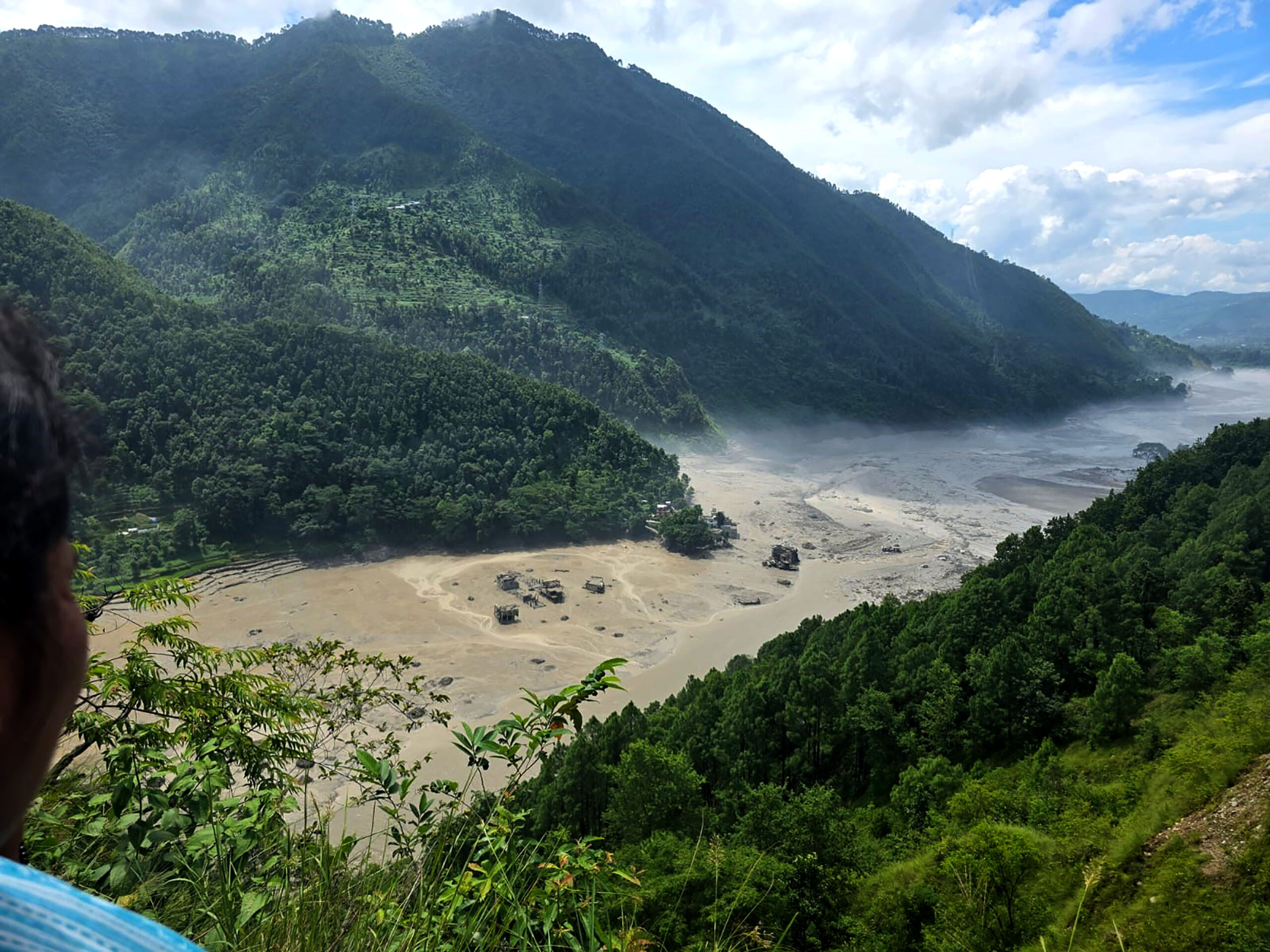
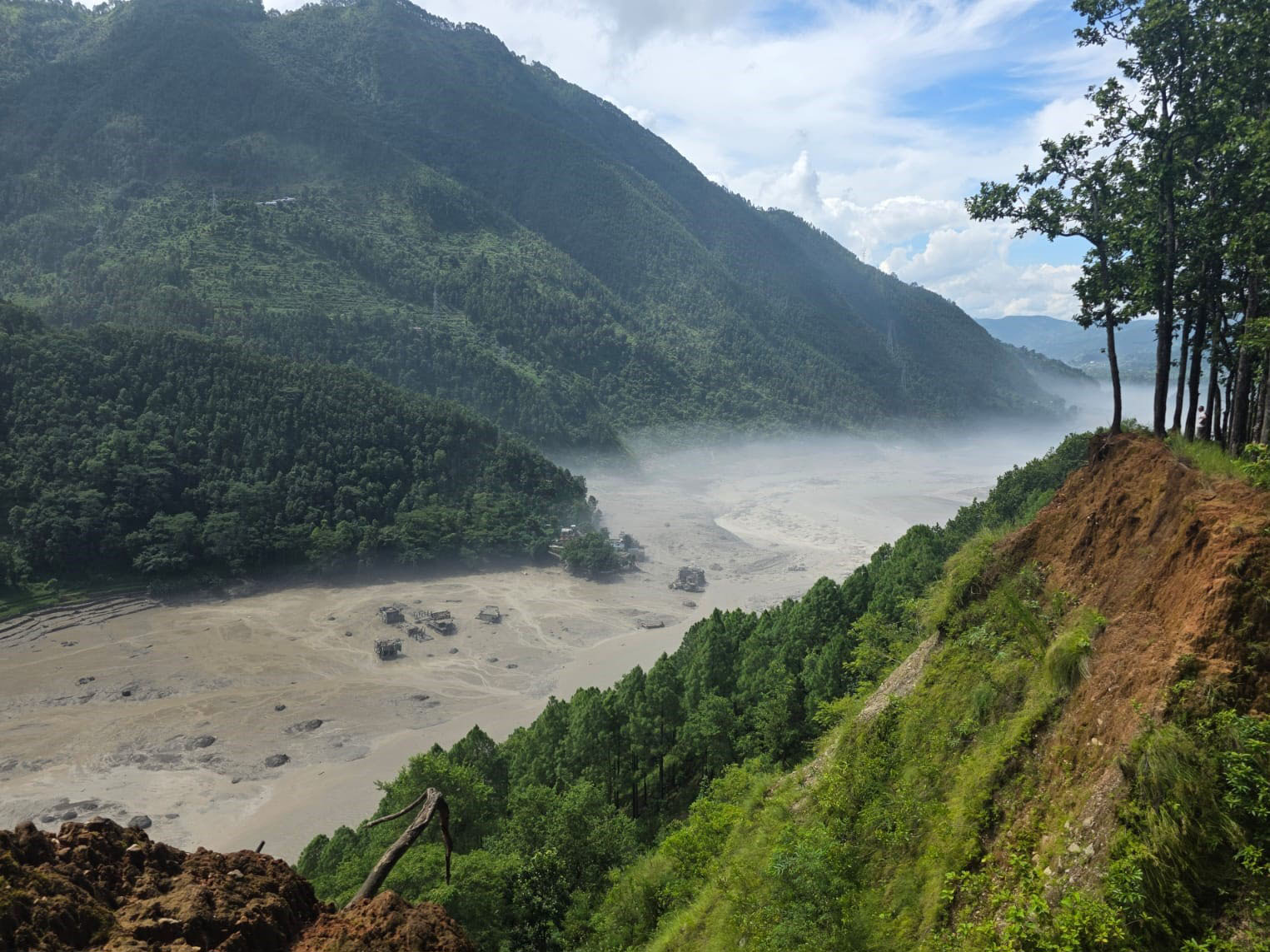
Kathmandu. Before the major flood in Bhotekoshi, there was an earthquake in Tibet of China and within 23 minutes of that, the lake was found to have burst. According to the report of the Flood Forecasting Division under the secretariat of the Water and Energy Commission, information about the lake burst was received through the staff of the District Administration Office, Rasuwa and the Water Measurement Center in Betrawati.
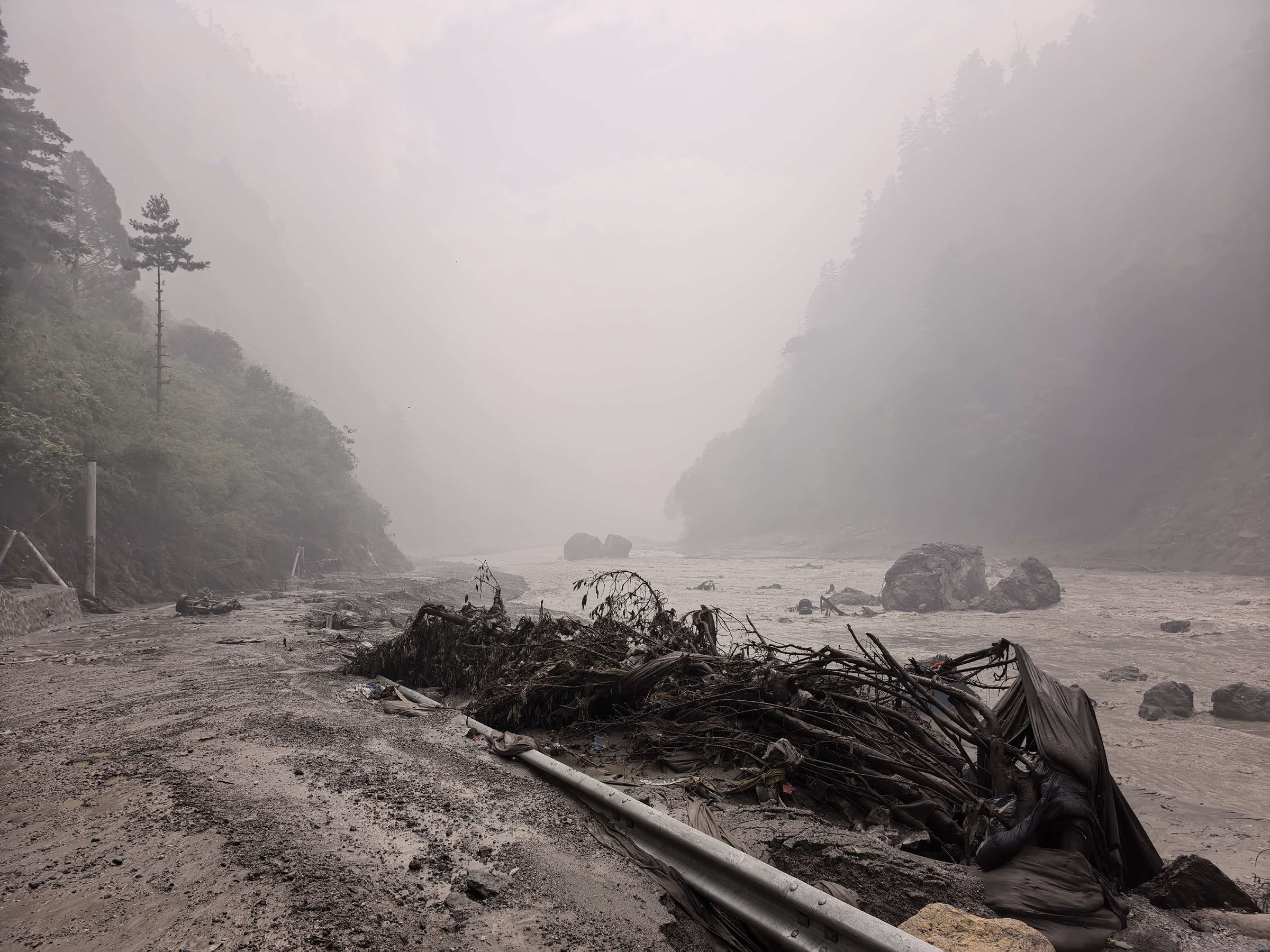
The technical report prepared by the Flood Forecasting Division under the Secretariat of the Water and Energy Commission has revealed the sequence of the Bhotekoshi-Trishuli-Narayani floods that occurred on August 26. According to the report, an earthquake of magnitude 4.4 on the Richter scale occurred at 8:37 am. About 23 minutes later, at 9 am, the river was reported to have burst in Nepal. After the lake burst, the big flood entered Nepal through the Bhotekoshi River.
The flood flowed downstream from Bhotekoshi and merged with the Trishuli River. After that, the flood reached Devghat of the Narayani river via Dhading, Nuwakot, Chitwan. Before the flood, the water level data was stopped at 8:50 am at the water measurement station at Syaphrubesi of Bhotekoshi, according to the Mahasankha. When the data stopped coming, the water level was only 1.62 meters.
The Flood Forecasting Division had issued a warning to the residents of Rasuwa, Nuwakot, Dhading and Chitwan from 9:15 am to 9:16 am to take high alert after the possibility of floods. Shortly after that, the data from the water measurement station in Betrawati also stopped at 9:20 am. At that time, the water level was 3.55 meters.TAG_OPEN_div_36

The flood gradually spread downstream and reached around Galchi in Dhading at 10:28 am. After that, from 11:26 pm to 11:43 pm, the water level in the Phurke area of Malekhu reached above the danger level.
} The flood crossed Mugling at 1 pm. Then at 2:14 pm, the water level at the water measurement center of Kalikhola reached 12.3 meters, above the danger level of 12.1 meters.
TAG_OPEN_div_30 The flood reached Devghat between 3:20 pm and 4 pm. At 4 pm, the water level at Devghat reached the highest level of 6.57 meters. At that time, about 5,850 cubic meters of water flowed in the Narayani river. After that, the water level started receding. By 6:30 pm, the water level at Devghat had dropped to about 4 meters and returned to normal.
The authority said that the data could not be obtained from the water measurement stations of Rasuwagadhi, Syafrubesi, Betrawati and Malekhu due to the intense floods. Some of these stations have been damaged or washed away by the floods. In such a situation, the flood situation has been studied on the basis of the amount of water reaching Devghat. According to the report, a total of 5.74 crore cubic meters of water flowed from Devghat. If we look at the water flowing in the river under normal circumstances, the amount of water added due to the flood is estimated to be about 1,99,60,000 cubic meters.TAG_OPEN_div_28
The distance of the river from the Tibet-Nepal border to Devghat is about TAG_OPEN_div_26 168 kilometers, according to the authority. At that time, the authority said that a large number of mobile messages were sent to inform the public about the risk of floods.
TAG_OPEN_div_24 Although the main flow of the flood has receded, the risk has not been completely removed, according to the NRA. According to the report, there is a possibility of flooding in the upper Bhotekoshi area as the lake formed by the blockage of the river on the Chinese side has not yet been completely emptied.
TAG_OPEN_div_22 Although there is little possibility of major inundation in Chitwan and Nawalparasi areas, the risk still remains in the lower and lower areas of the river banks. Therefore, people living on the banks of the river have been urged to adopt high alertness until further notice and move to a safer higher place if necessary.
प्रतिक्रिया दिनुहोस्